Whether by foot, bike or bus, there are many ways to travel through Oak Bay!
The municipality is made up of many quiet neighbourhoods, with both intimate back laneways for quiet exploration and a spectacular scenic seaside route extending along Beach Drive. There are also many small walking paths connecting neighbourhoods. Find more information on our community maps page.
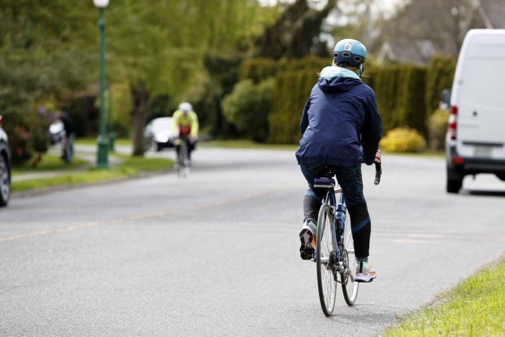
Cycling in Oak Bay
A mild coastal climate makes cycling pleasant almost every day of the year.
The community has picturesque residential streets where cyclists of all ages can ride with minimal car traffic. There are also dozens of laneways and pathways for even quieter exploration. A spectacular scenic seaside cycling route extends along Beach Drive, suitable for both advanced and casual cyclists.
Three major east-west cycle routes link Oak Bay to downtown Victoria:
- Haultain Street
- Fort Street
- McNeil/Richardson Street.
Two major north-south routes run:
- along Foul Bay Road North of Cadboro Bay Road
- Elgin/Florence/Henderson road corridor.
Several arterial roads have been upgraded with bike lanes and bike route markers. Planning is underway for further improvements with the upgrade of municipal infrastructure to support active transportation modes.
Electric Vehicle Charging
There are three Electric Vehicle (EV) charging stations at municipal facilities throughout Oak Bay.
- Municipal Hall - 2167 Oak Bay Avenue. This station has been partially funded by the Province of British Columbia.
- Oak Bay Recreation Centre (On Goldsmith Street)
- Henderson Recreation Centre
Charging Rates and Regulation
The District charges $1/hour user fee for the charging stations to cover the installation fees and electricity cost and encourage turnover. All vehicles that are in the charging zone must be actively charging to be able to park in the spot. To ensure maximum availability of these spaces, non-electric vehicles and vehicles that are not actively charging can be ticketed for parking in the charging zone. Drivers must obey all posted time limits for how long a vehicle may remain parked at the charging station.
Charging App
To use these charging stations, a driver must be a member of the Flo Network – and either use a Flo Card or the Flo App on their smartphone. For more information on the Flo Network, please visit: www.flo.com
Public Transportation
Public transportation is provided by the Victoria Regional Transit System, serving all communities in the Greater Victoria area. Victoria Regional Transit System partners with Google Maps to allow automatic route planning. Just enter your starting point, destination and time of day to get directions and times for transit.
Information on fares and routes can be found on the BC Transit website.